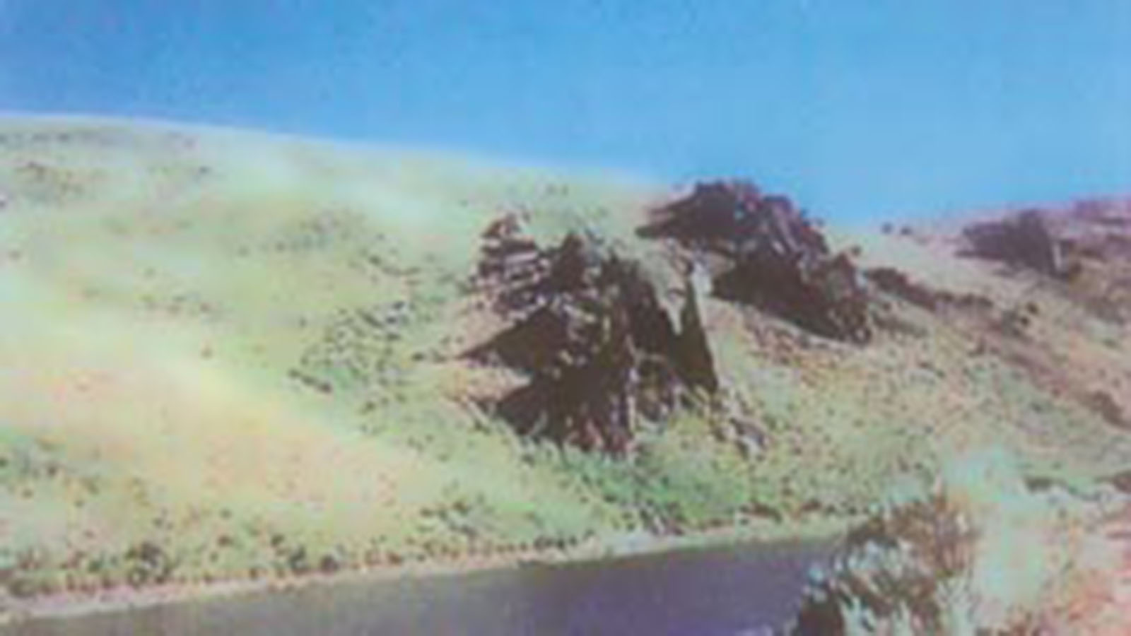
Heguy Ranch – North East Nevada
Heguy Ranch location is in one of the major deer hunting areas of Nevada with deer residing in not only the high mountain areas, but also in the lower elevations. Antelope are present throughout the area and some 20 miles north is an area, which has been acquired by the Elk Foundation and has a growing population of elk. The ranch is in the area of one of the highest sage hen populations in the state of Nevada. There are a number of fishable streams within 20 miles of the property and Wildhorse Reservoir, one of the notable fisheries of the State, is an easy one-hour drive away. One little known feature of the ranch is a storage reservoir located on the private land, which the Nevada Division of Wildlife has investigated as a possible location for planting red band trout, a species native to the Bruneau River system and limited in number. The Division of Wildlife would plant the reservoir and with a license, private fishing could be continued with the request that fish capable of spawning would remain in the reservoir to later be milked for their eggs and placed in a hatchery. Therefore, this area has available almost all game common to Northern Nevada.
The elevation of the headquarters of this ranch, 6,360 feet, provides relatively cool days during the summers, with the nights usually requiring a jacket. The ranch includes Mason Mountain, with an elevation of 7,473 feet, which provides vistas unparalleled in the Great Basin Region. The ranch is accessed by 56 miles of highway from Elko and approximately 16 miles of county maintained gravel roads, a trip of approximately one and a half hours during the late Spring, Summer and early Fall. Spring and fall storms may make the last 16 miles impassible for a short period. In the winter, the gravel road is not maintained and access to the property is by snowmobile. As snowmobiling in this area has become a popular winter sport, the area now provides year-round recreation.
Within an easy driving distance there is Jarbidge, a historic mining town, Copper Mountain at an elevation of 9,800 feet, the Jarbidge Wilderness area, the headwaters of Marys River, Wildhorse Reservoir, Mountain City and the town of Tuscarora in the Independence Valley. In addition, the area has mile upon mile of 4×4 roads, with every mile showing something of interest. Northeastern Nevada has been interesting to such notables as Bing Crosby, who owned the PX Ranch, approximately 40 miles away, and James Stewart.
This is true cowboy country. Several large ranches are in the area and the smaller ranches retain the flavor of a range cattle operation with long cattle drives. The Prunty Ranch, which is about 10 miles distant, still has a large horse gather from the Diamond A Desert each Spring.
The property will support a substantial number of cattle during the grazing season of May to November. This will provide income for the property and a possible means of providing visitors with a Western Experience by helping on the cattle operation. A recent controlled bum of heavy brush on portions of the land has shown that brush eradication will increase the production of grass and other vegetation and greatly enhance the wildlife and big game carrying capacity of the area.
The relative seclusion of the area and the location of the farmstead provide a minimum of intrusion by the public and a peaceful atmosphere. The present buildings are conventional ranch buildings, all of which are functional. Areas for the construction of new lodge type residences are present with views of the meadow and stream.
PRICE AND TERMS: The Heguy Ranch is being offered for sale for the sum of ONE MILLION SIX HUNDRED SEVENTY FIVE THOUSAND AND NO/100 ($1,675,000.00), which excludes any and all personal property (cattle, hay and equipment).
TYPE OF PROPERTY: This is a “turn- key” cow/calf and/or yearling cattle ranch operation with much opportunity for the hunting, fishing and outdoor enthusiast.
GRAZING PRIVILEGES: The ranch presently holds a grazing preference of 185 A.U.M.’s on the Mason Mountain allotment. It lies on the western edge of the private property and is a private allotment.
In addition, is a transfer of grazing preference to be initiated with the Bureau of Land Management (BLM) to place and additional 288 A.U.M.’s of grazing preference with the place of use in the Rattlesnake allotment. This use is in common with the other property owners. Such additional use is contingent upon approval of the transfer by the BLM and will have no effect on the sales price. (See allotment map)
WATER RIGHTS: The property has the following water rights filed in the office of the State Water Engineer:
| Permit no. | Source | Culture | Acres |
| 27337 27338 27339 27340 |
Mason Creek Tourreuil Spring Mason Creek Mason Creek |
Meadow Meadow Meadow Meadow |
36.88 29.26 5.09 10.62 |
In addition, proofs of vested water rights have been filed for:
All of the water rights are within the Bruneau River drainage, which is presently under adjudication by the State of Nevada, and the final allowance of water is not known at this time.
OWNER OF RECORD: HUMBOLT WEST / JOHN AND JAE EADE, husband and wife.
LOCATION: Seventy (70) miles northeast of EIko, Nevada. Accessed by fifty-six (56) miles north of highway from Elko and roughly sixteen (16) miles of county maintained gravel roads.
LAND AREA: 3,700 +/- acres (per Elko County Assessor Records)
LAND DIMENSIONS: Irregular, please refer to the following Ranch Map, North Rattlesnake Allotment, South Rattlesnake Allotment.
TOPOGRAPHY: Topography of the ranch ranges from flat at the meadows, to undulating in some areas and steep in others.
ELEVATION: Elevations range from approximately 6300+/- feet to 7473 feet. The headquarters and meadows are located at the lower elevations.
LEGAL DESCRIPTION: The land referred to herein is situated in the State of Nevada, County of EIko, described as follows:
TOURREUIL RANCH. HEADQUARTERS AND MASON MTN. PARCEL 1:
TOWNSHIP 42 NORTH, RANGE 57 EAST, M.D.B.&M.
Section 5: Lots 1, 3 and 4; S1/2 NE1/4; SE1/4 NW1/4; NE1/4 SW1/4; N1/2 SE1/4;
Section 6: Lot 1;
TOWNSHIP 43 NORTH, RANGE 57 EAST, M.D.B.&M.
Section 31: Lots 3 and 4; E1/2 SW1/4; SE1/4. NW1/4; S1/2 NE1/4; SE1/4;
Section 32: S1/2; SE1/4 NE1/4;
Section 33: SW1/4 SW1/4; N1/4 SW1/4; N1/2 SE1/4;
Section 34: N1/2 SW1/4; SE1/4 NW1/4;
TOWNSHIP 43 NORTH, RANGE 56 EAST, M.D.B.&M. Section 36: Lot 4;
TOWNSHIP 42 NORTH, RANGE 57 EAST, M.D.B.&M.
Section 5: Lot 2; SW/4 NW/4; NW/4 SW/4;
Section 6: SE1/4NE1/4;
EXCEPTING from Lot 1 of Section 6; and Lots 1,3 and 4, SE1/4NW1/4, SE1/2NE1/4, of Section 5, TOWNSHIP 42 NORTH, RANGE 57 EAST, M.D.B.&M., and SW1/4 SE1/4, SE1/4 SW1/4 of Section 32; S1/2 NE1/4 and SE1/4 of Section 31; W1/2 SW1/4, NE1/4 SW1/4, NW1/4 SE1/4 of Section 32, TOWNSHIP 43 NORTH, RANGE 57 EAST, M.D.B.&M., all the coal and other minerals lying in and under said land as reserved by the United States of America in various Patents of record in the Office of the Elko County Recorder.
PARCEL 2:
TOWNSHIP 42 NORTH, RANGE 57 EAST, M.D.B.&M.
Section 4: Lots 3 and 4; S1/2 NW1/4; SW1/4;
Section 5: S1/2 S1/2;
Section 8: N1/2; N1/2 SW1/4; SE1/4 SW 1/4; N1/2 SE1/4; SW1/4 SE1/4;
Section 9: NW1/4; N1/2 SW1/4
TOWNSHIP 43 NQRTH, RANGE 57 EAST, M.D.B.&M.
Section 33: SE1/4SW1/4;
EXCEPTING FROM Parcel 2, all the oil and gas mineral deposits lying in and under said land as reserved by the UNITED STATES OF AMERICA in Patent recorded April 12, 1996, in Book 933, Page 789, as File No. 383800, Official Records, Elko County, Nevada.
TOTAL ACRES: 2985.51
RATTLESNAKE FIELD
TOWNSHIP 42 NORTH, RANGE 57 EAST, M.D.B.&M.
Section 9: S1/2 SW1/4 Section 16: All
The above described lands contain 3,745.49 acres more or less as shown on the records of the Elko County Assessor.
| Rattlesnake Creek | .0066cfs | Proof 06526 |
| Mason Creek | .005cfs | Proof 06527 |
Request a Call Back
The enclosed information has been obtained from sources that we deem reliable; however, it is not guaranteed by Clark Company and is presented subject to corrections, errors, prior sale, changes or withdrawal from the market without notice.

